The Average American Can't Answer These Basic U.S. Geography Questions
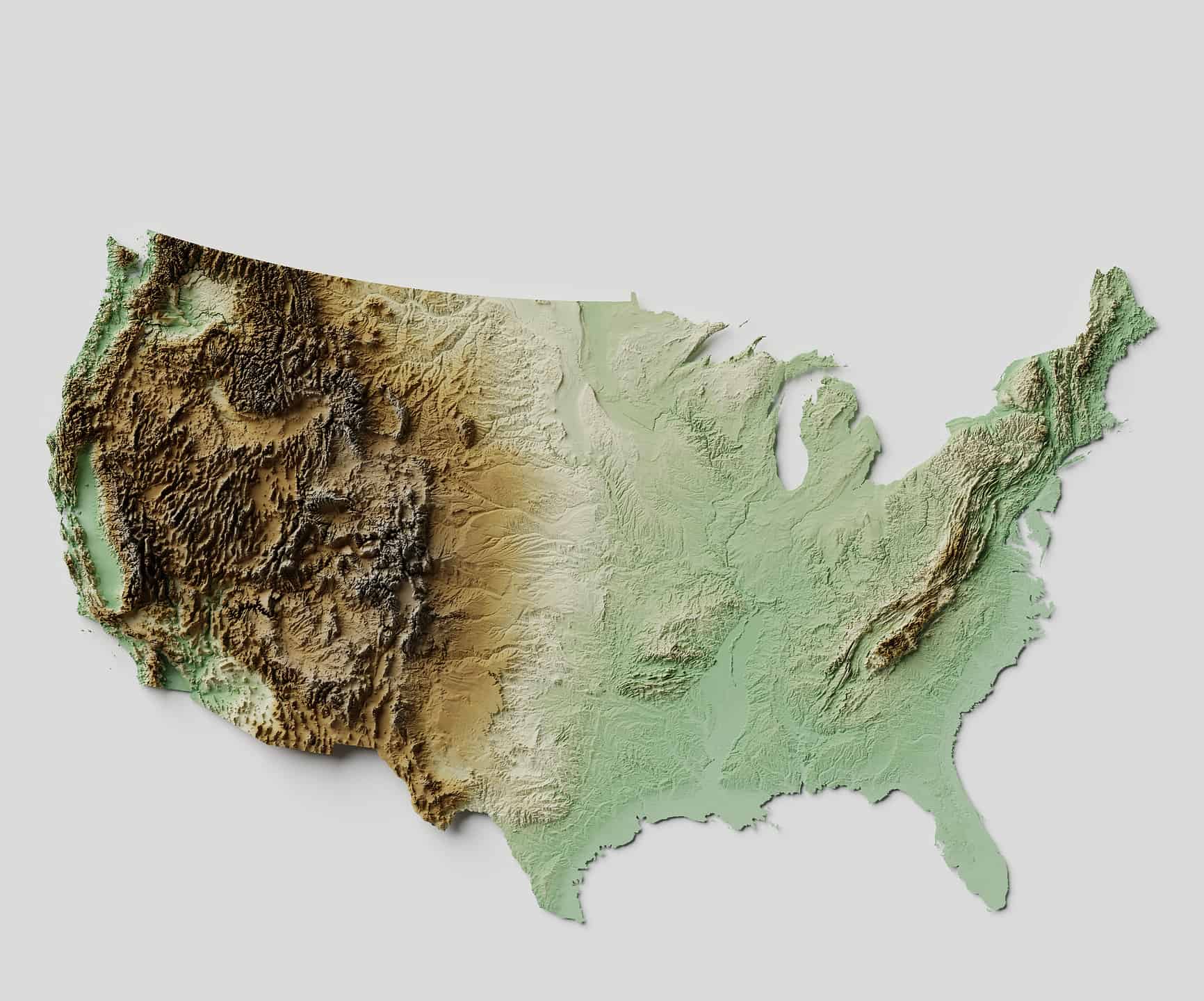
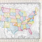
It's basic U.S. geography. There are 50 states — 48 of which are contiguous, plus Alaska and Hawaii — and the District of Columbia. Most Americans know that much. But did you know that the United States of America is comprised of approximately 3,531,905 square miles of land and about 264,837 square miles of water?
Likely not. And we bet there are plenty more facts that you don't know about U.S. geography. Here are some common U.S. geography questions that most Americans can't answer. How do you stack up?
This post was updated in May 2026 to include updated information about geography questions and additional editorial enhancements.
Question
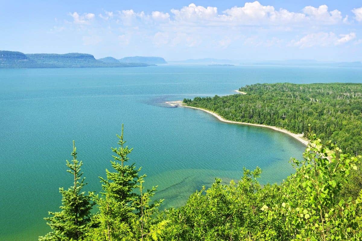
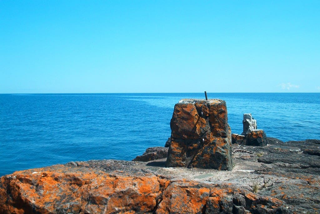
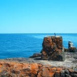
What is the largest freshwater lake not only in the U.S. but in the world by surface area?
Answer: Lake Superior
Lake Superior covers approximately 31,700 square miles.
Question
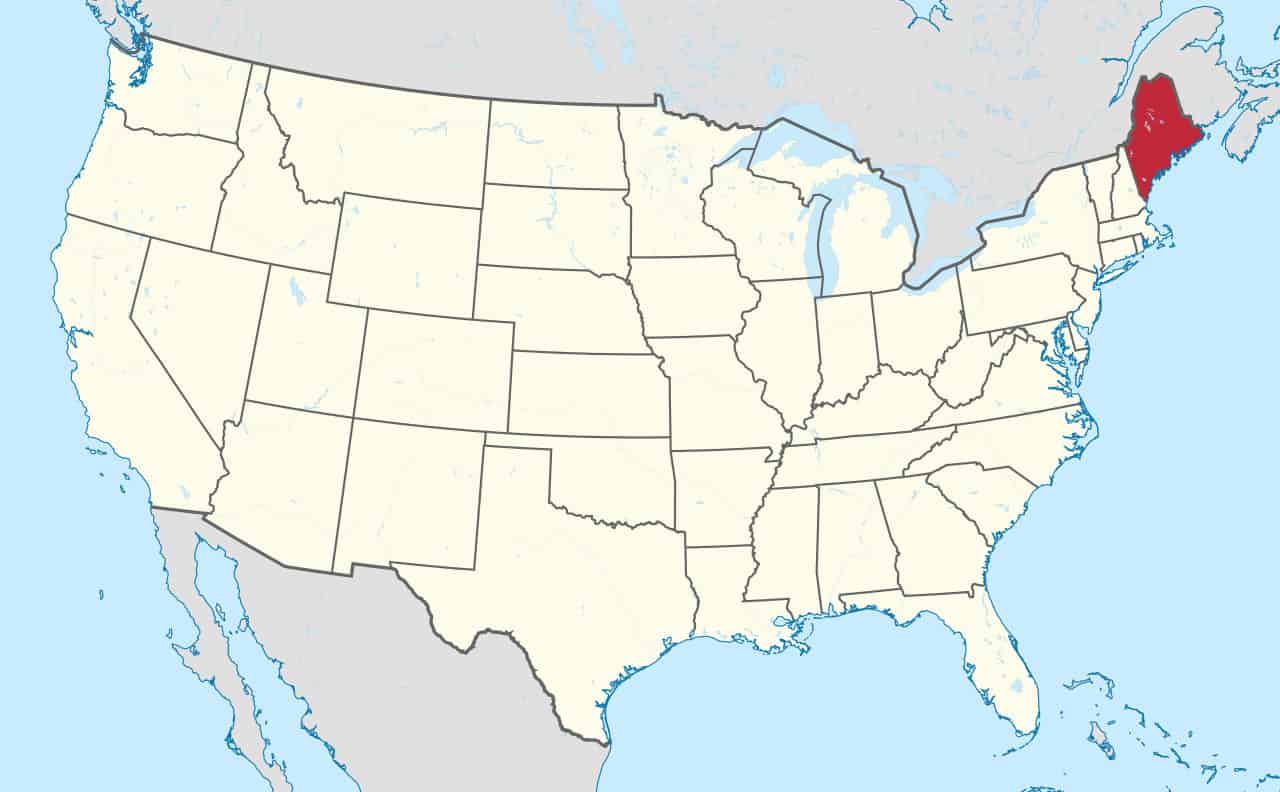
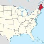
What is the only state in the U.S. that shares its border with only one other state?
Answer: Maine
The only state that Maine shares a border with is New Hampshire.
Question
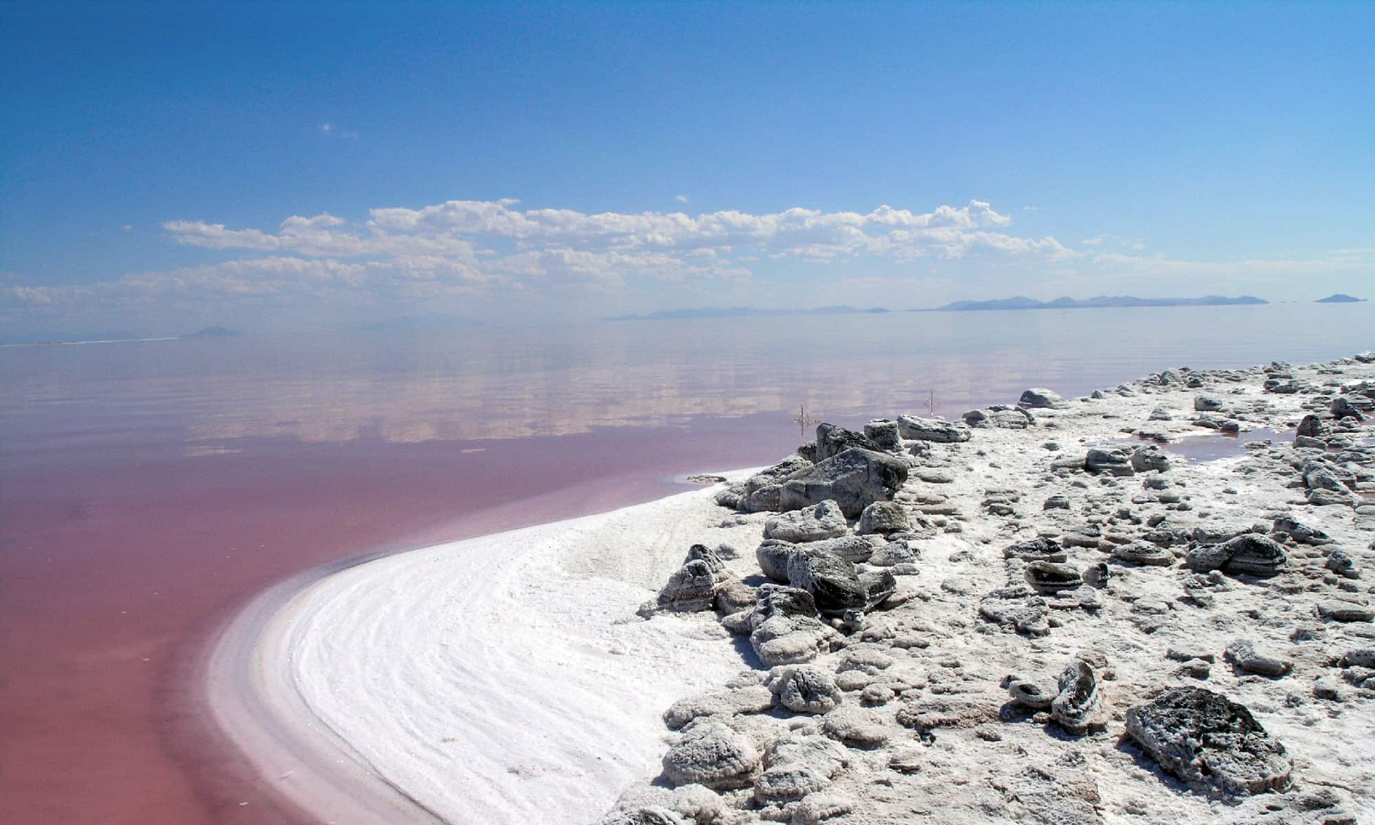
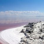
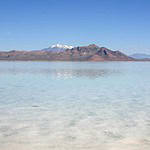
Why is the Great Salt Lake in Utah salty?
Answer: No Outlet
Utah's Great Salt Lake is salty because there are no outlets. Its tributaries deliver small amounts of salt, and once that water reaches the lake, it evaporates, leaving the salt behind.
Question
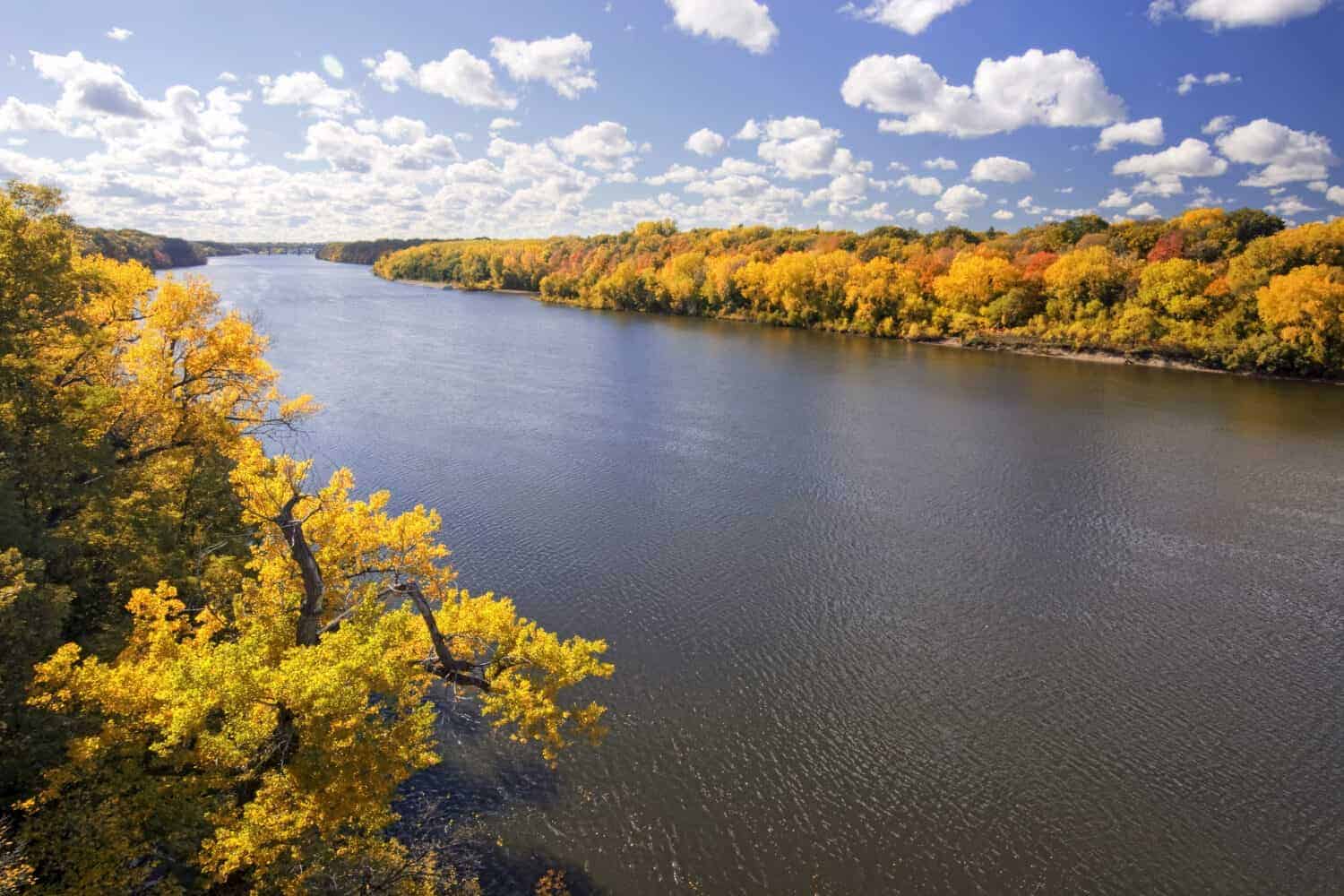
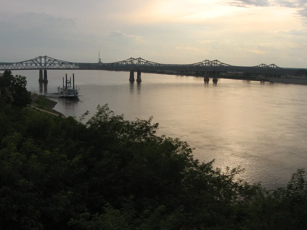
Which river flows through more states than any other U.S. river, and how many states does it flow through?
Answer: The Mississippi River
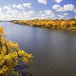
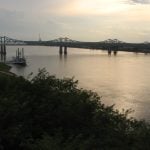
The Mighty Mississippi flows through 10 states, including Minnesota, Wisconsin, Iowa, Illinois, Missouri, Kentucky, Tennessee, Arkansas, Mississippi, and Louisiana.
Question
What is the most densely populated state in the nation?
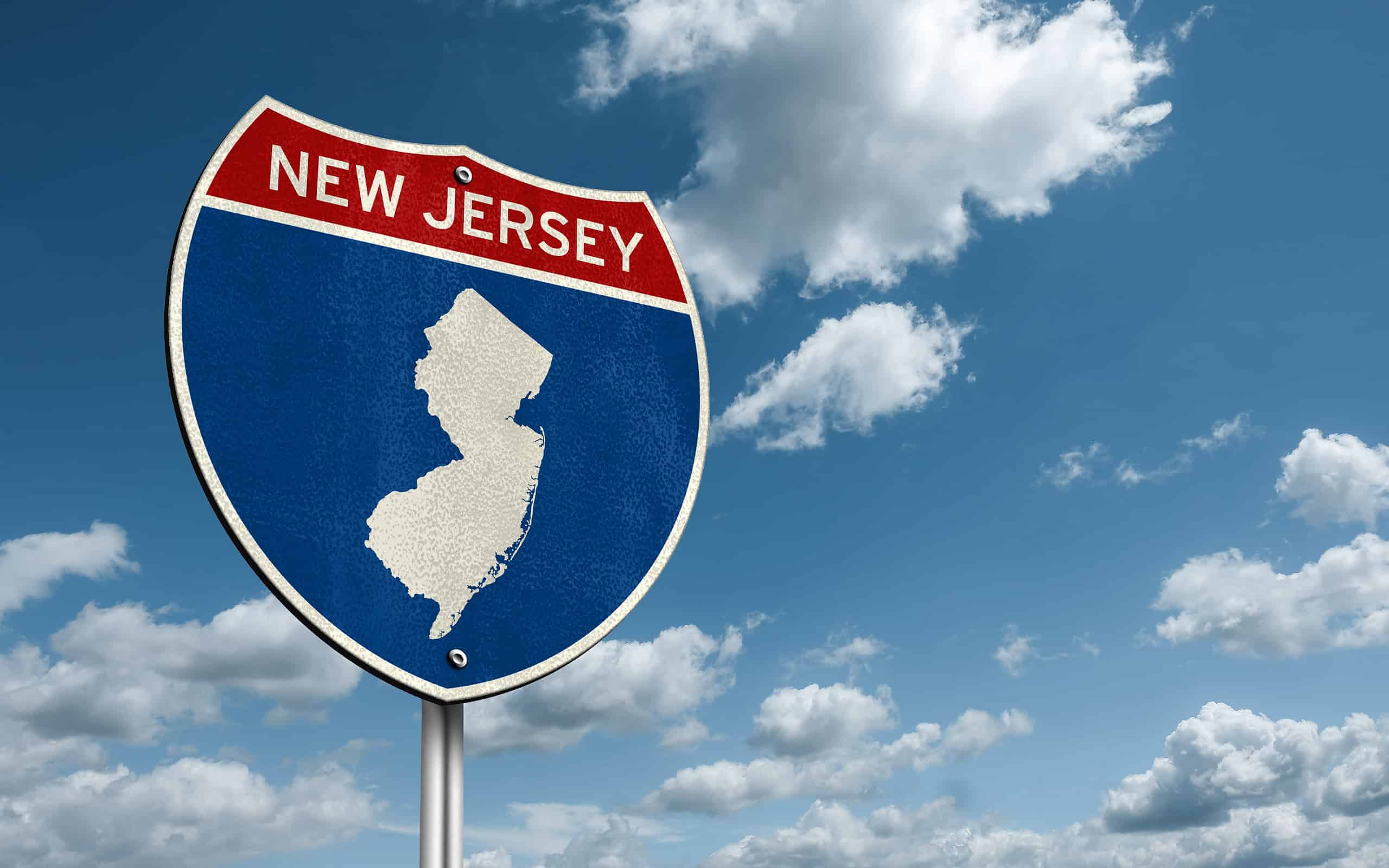
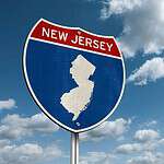
Answer: New Jersey
New Jersey covers about 7,354 square miles and has a population of approximately 9.59 million people, making it the most densely populated state in the nation with about 1,305 people per square mile.
Question
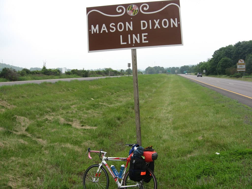
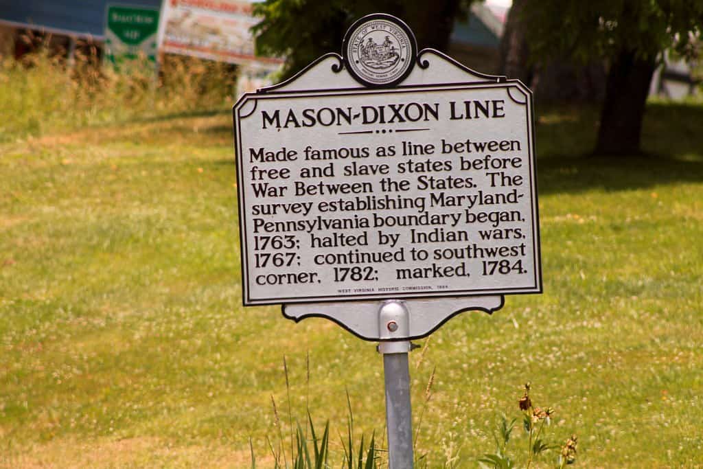
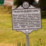
What is the Mason-Dixon Line?
Answer: A Land Dispute Resolution
While many Americans simplify the purpose of the Mason-Dixon Line as separating the North from the South, its original purpose was to resolve a border dispute between the British colonies of Pennsylvania and Maryland. It is named after the land surveyors, Charles Mason and Jeremiah Dixon, and in pre-Civil War times, it was the line dividing slate states of the south and "free-soil" states of the north.
Question
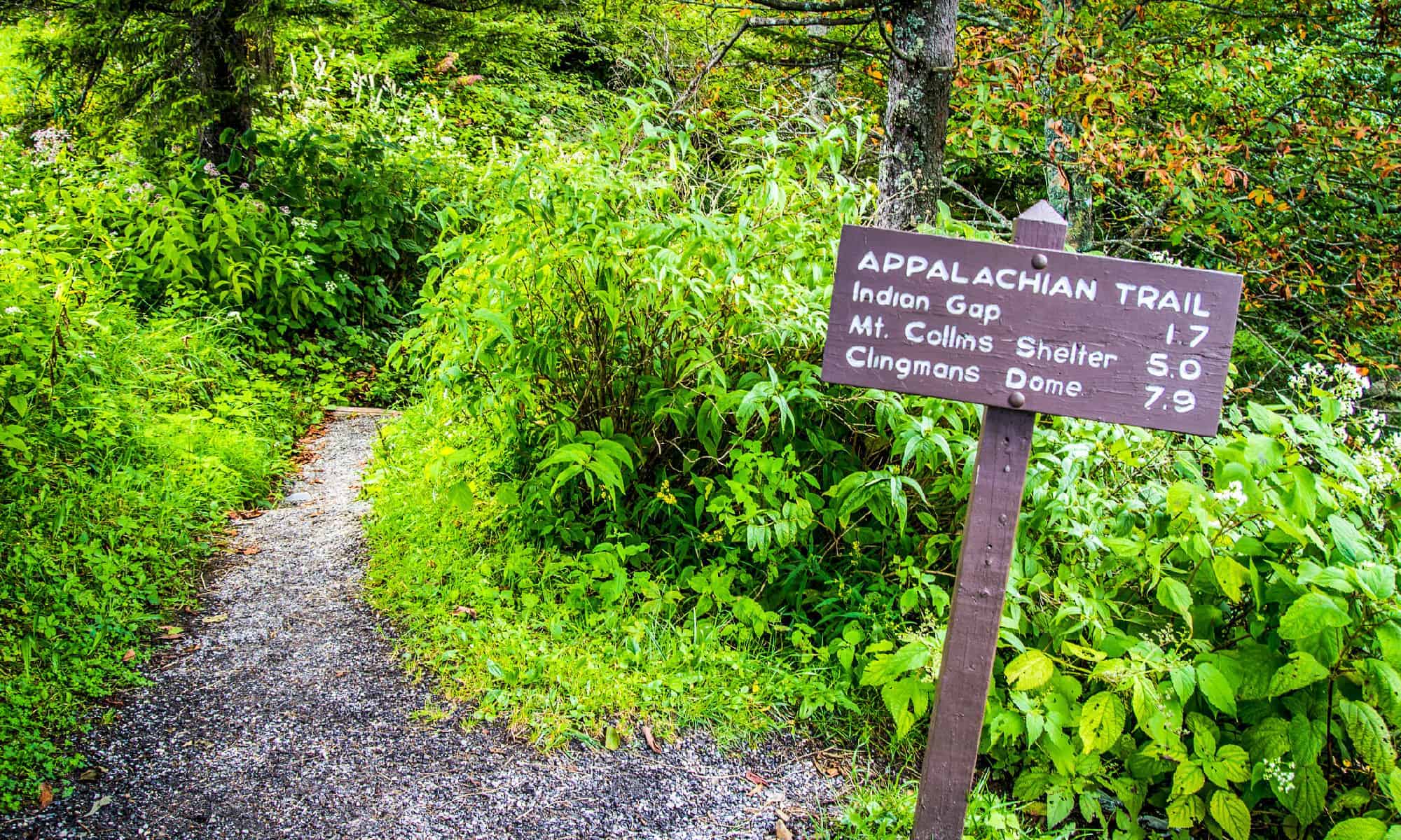
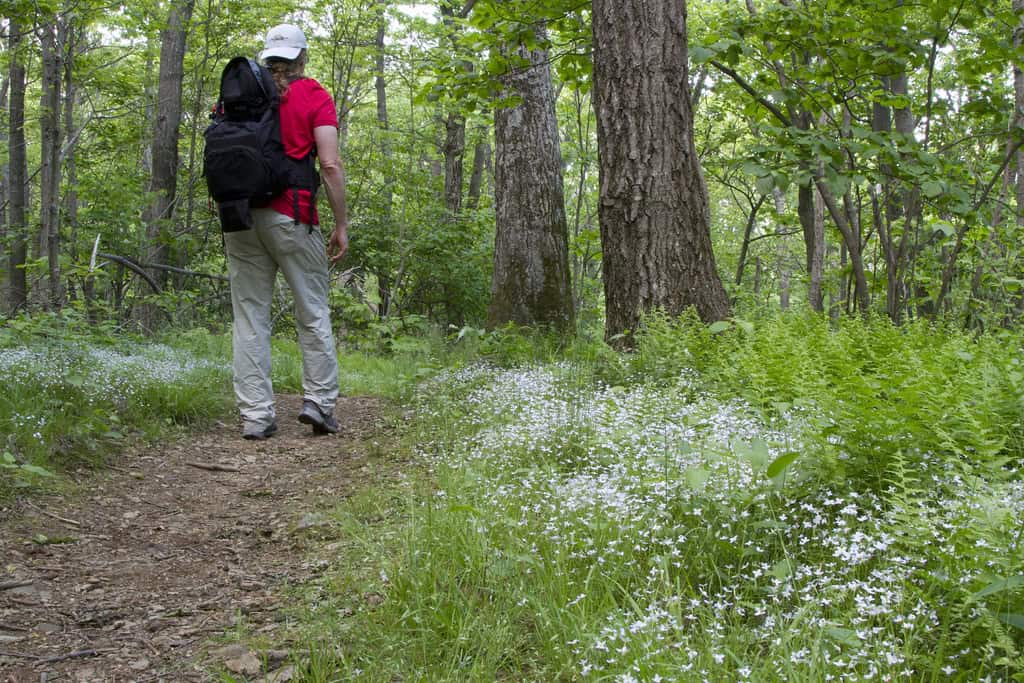
How long is the Appalachian Trail, and where does it start and end?
Answer
The Appalachian Trail is 2,190 miles. It stretches from Katahdin, Maine, to Springer Mountain, GA. FUN FACT: Tara Dower just beat the record for fastest time completing the thru-hike of the Appalachian Trail. She did it in 40 days, 18 hours, and 6 minutes. The average hiker takes 5-7 months to complete the journey.
Question
Where is the longest coastline in the United States?
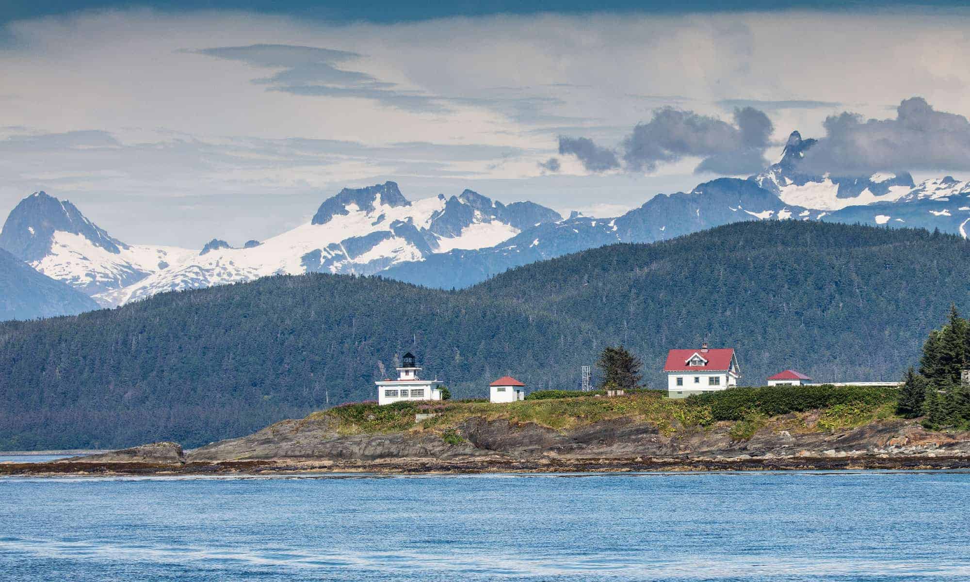
Answer: Alaska
Alaska holds the title of the longest U.S. coastline. It spans 6,640 miles along the Pacific Ocean.
Question
What is the lowest point in the United States?
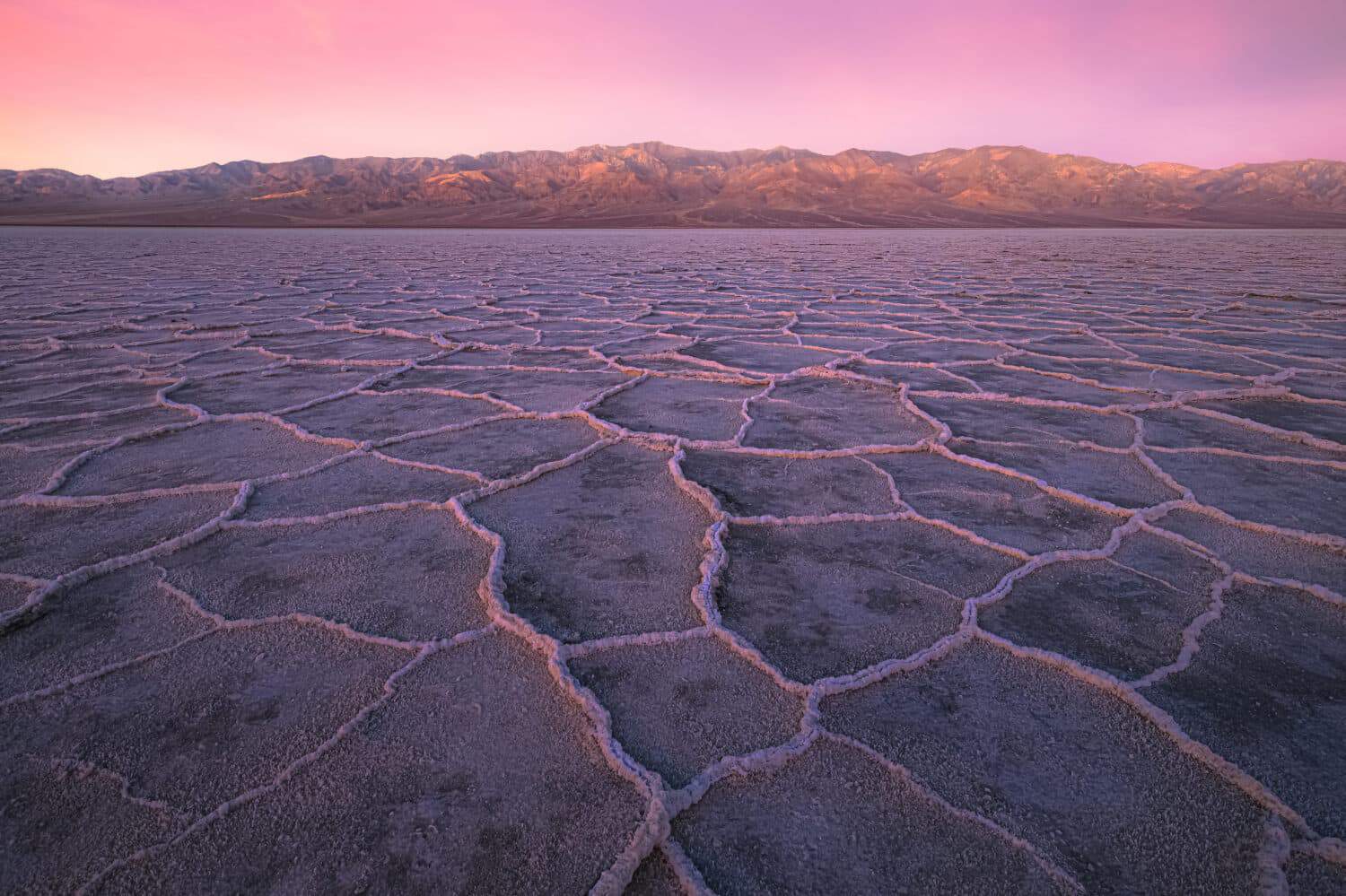
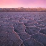
Answer: Death Valley
Death Valley is located at -282 feet below sea level, making it the lowest point in the United States. It also receives the least amount of rain.
Question
What is the highest point in the United States?
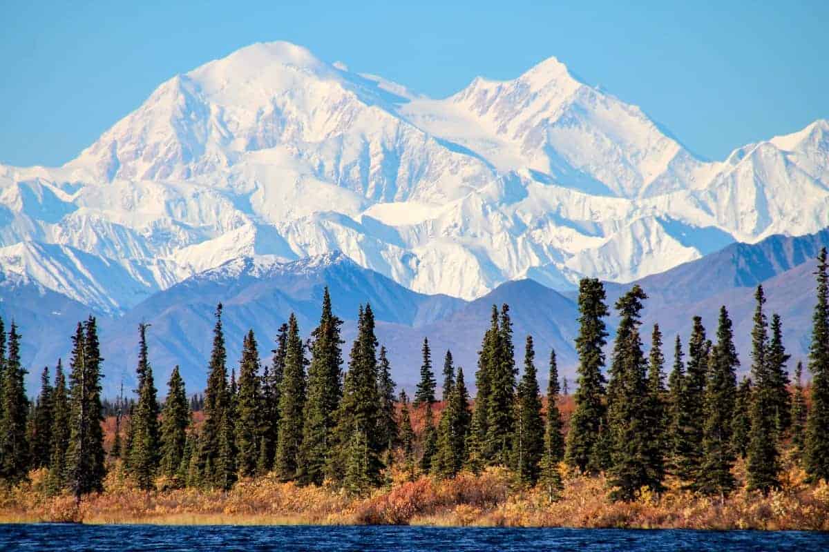
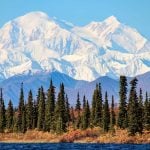
Answer: Denali
The highest point in the United States is Denali in Alaska, which measures 20,310 feet above sea level.
Question
What are the smallest and the largest states?
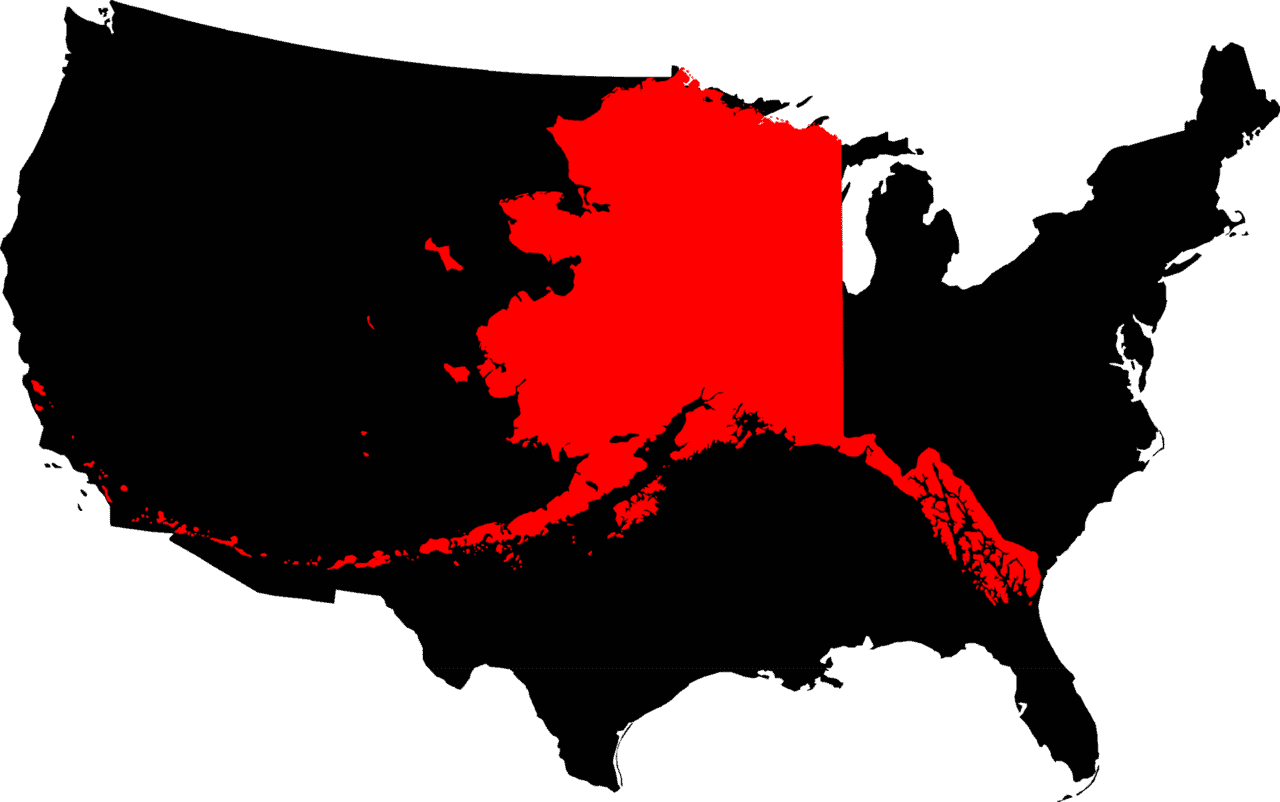
Answer: Rhode Island and Alaska
Rhode Island measures 1,545 square miles, while Alaska clocks in at 663,268 square miles.