
These U.S. State Borders Make No Sense; Here’s Why They Look So Strange
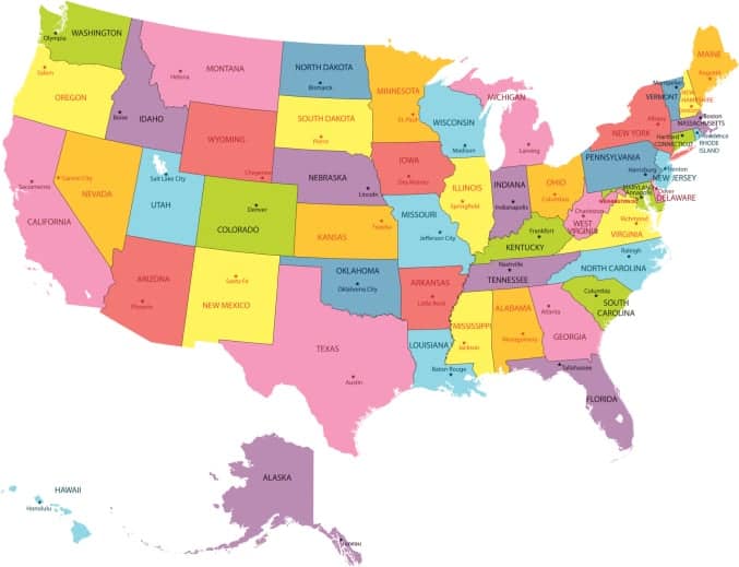
The map of the United States might look straightforward at first glance, but some state borders are surprisingly strange. From jagged lines to unexpected angles, these boundaries often raise one big question: why were they drawn this way in the first place?
This article takes a closer look at some of the weirdest state borders in the U.S. and the historical decisions behind them. While many of these lines don’t cause major issues today, their origins reveal a mix of geography, politics, and compromises that still shape the map we see now.
Alaska-Canada
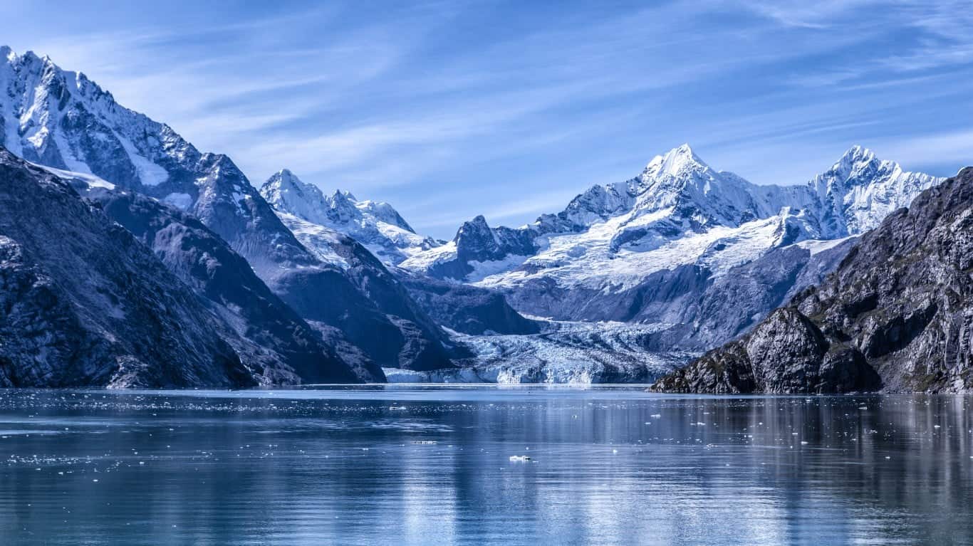
Alaska's southern panhandle is attached to the rest of the state by a narrow neck of land. It's the furthest south the Russians were able to claim before the British claimed the rest of the mainland around them. After the U.S. bought Alaska and began negotiating the final border with Canada, the Canadians wanted to get at least part of it to have a Pacific port for the Yukon Territory, where gold had been discovered. But the British, who controlled their foreign policy, went along with U.S. claims to keep the area because they wanted better relations and cooperation in other areas that were more important to them, like the Caribbean.
Minnesota-Canada
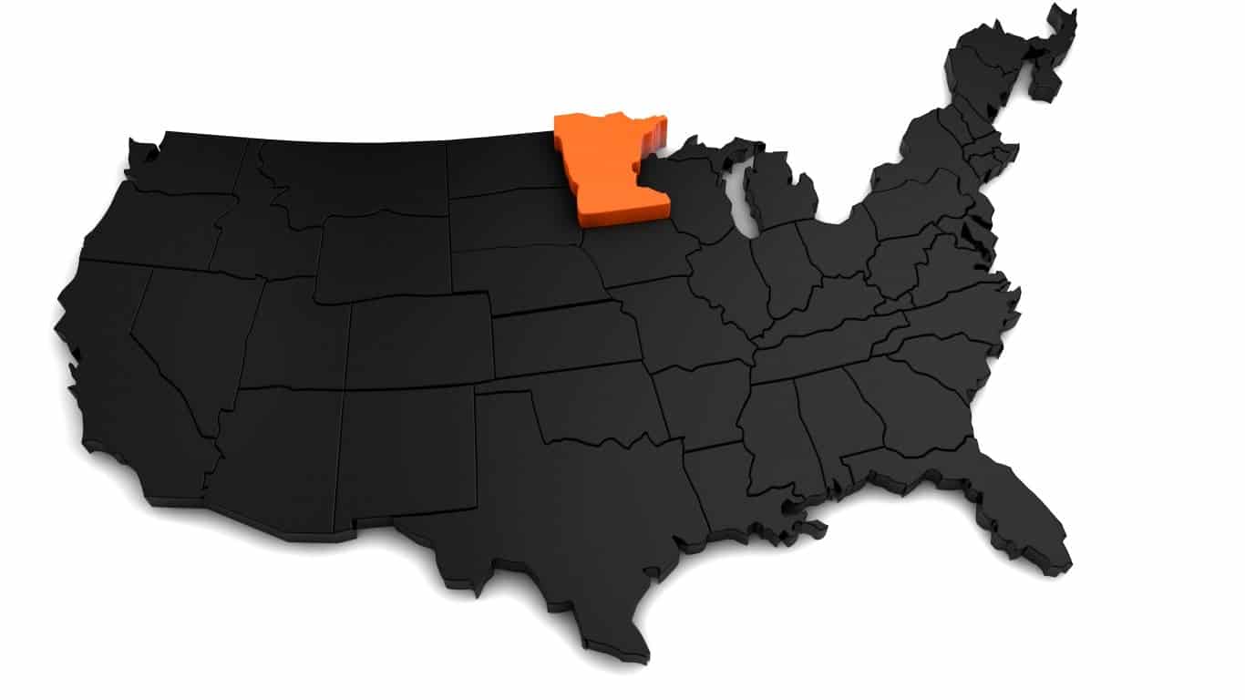
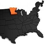
The Northwest Angle is a small "bump" on Minnesota's northern border that juts into Canada. It's just a small corner of land attached to a peninsula on the Canada side and separated from the United States by the Lake of the Woods. It exists because the U.S. and Britain signed treaties recognizing U.S. independence and the boundaries of the Louisiana Territory before this area had been completely explored. The language of those treaties created this anomaly, which was simply left in place.
Texas-Mexico
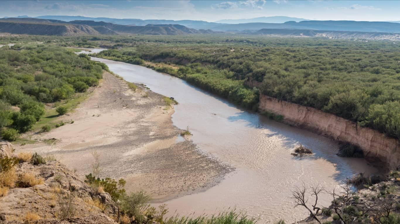
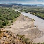
The Rio Grande marks the Texas-Mexico border, but this large river shifts course from time to time, leaving pockets of land stranded on the "wrong" side of the border. In 1970, the two countries signed a treaty to transfer some of these small tracts of stranded land to one another and to dig new channels for the river in places to return it to its historic location or support clear borders. Mexico and the United States shared equally in the cost of this border revision.
Florida
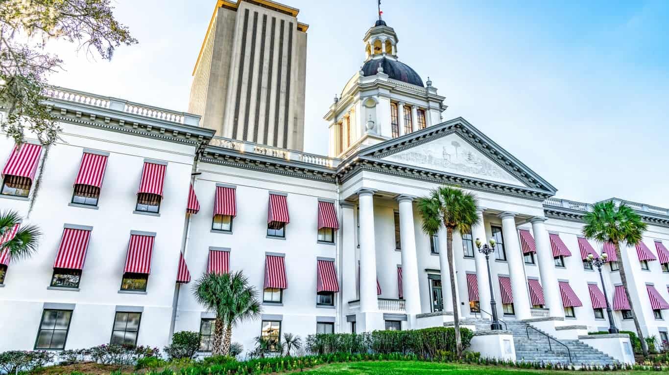
The Spanish colonized Florida, but West Florida (a separate colonial entity) extended its northwestern panhandle all the way to the Mississippi River. Unable to manage and defend all its territory, Spain sold Florida to the U.S. in 1819. (the panhandle west of the Perdido River had already been annexed earlier by the U.S. in the 1810–1813 West Florida annexation). The Spanish population was concentrated across the northern part of the state between Pensacola on the Gulf of Mexico in the west and St. Augustine on the Atlantic Coast. Everything west of Pensacola was transferred to Louisiana, Mississippi, and Alabama to make sure they all had access to the Gulf of Mexico. The majority of the Spanish population was kept together in the one state of Florida. The state capital, Tallahassee was chosen as the midway point of the population centers of that time.
Idaho
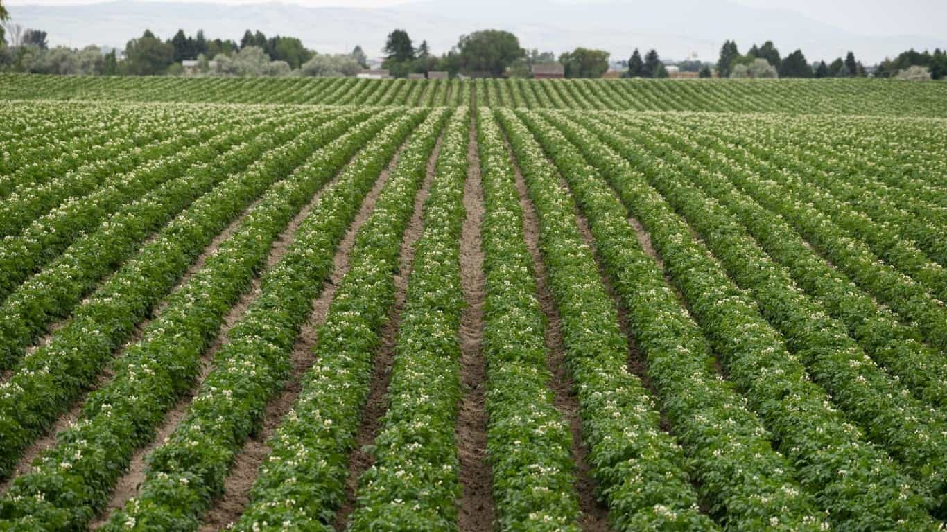
If Idaho looks like Montana broke through and gobbled up about a third of it in the northeast, well, that's because it did. The problem was, gold was discovered in the mountains to the northeast, so instead of creating a straight-line border or a line that followed the Continental Divide, Montana politicians successfully lobbied in Congress to make sure the border was drawn with the gold deposits on the Montana side (while Idaho got some very nice potato lands).
Iowa
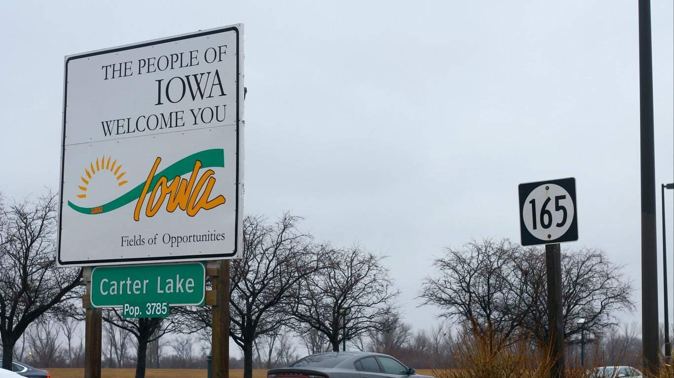
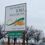
The town of Carter Lake, Iowa sits on the Nebraska side of the Missouri River, jutting into the eastern part of Omaha. It's partially surrounded by a bow lake that is all that remains of the loop of the Missouri that once defined the border. The town has made some efforts in the past to be annexed to Nebraska but this did not materialize. Today many Omaha-area residents drive through Carter Lake (Iowa) to take the fastest route to the Omaha airport.
Kentucky
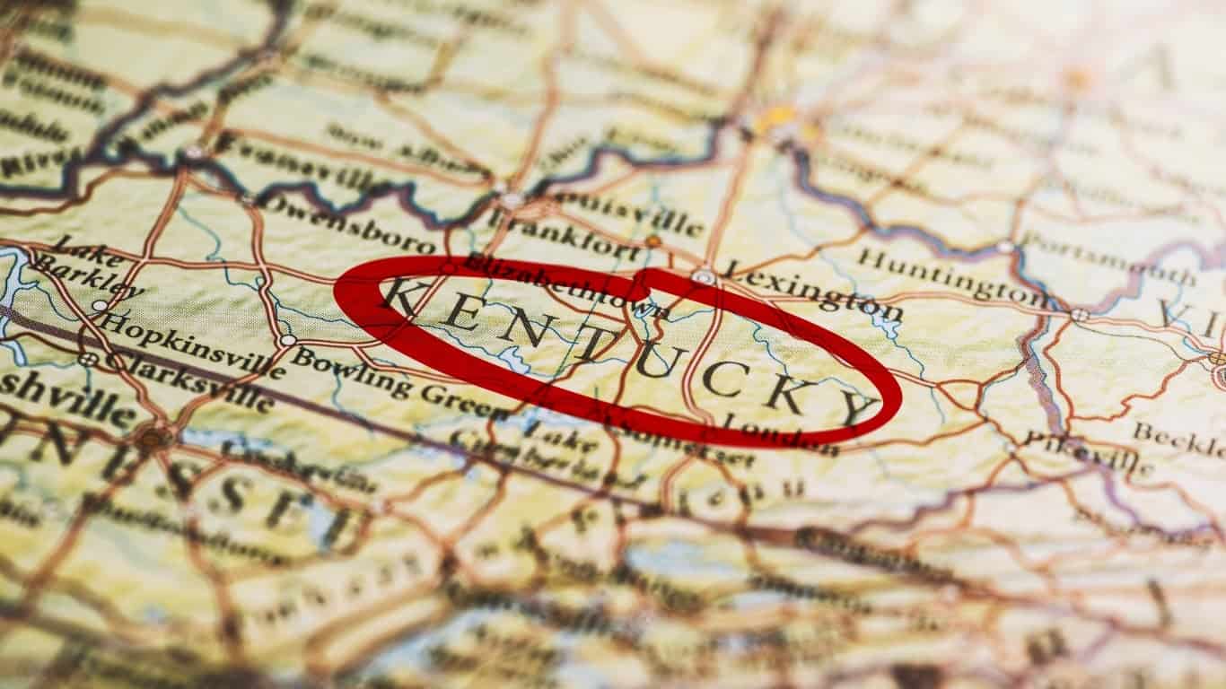
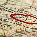
If you look closely at the farthest western part of Kentucky, you'll find the Kentucky Bend, a peninsula with the Mississippi River and the state of Missouri on three sides, separating it from the rest of the state, and accessible by land only from the south via Tennessee. It's the result of the shifting course of the meandering Mississippi River, which cut this area off from the rest of Kentucky. As of the last census, just 9 people lived there so no one is motivated to do anything about it.
Maryland
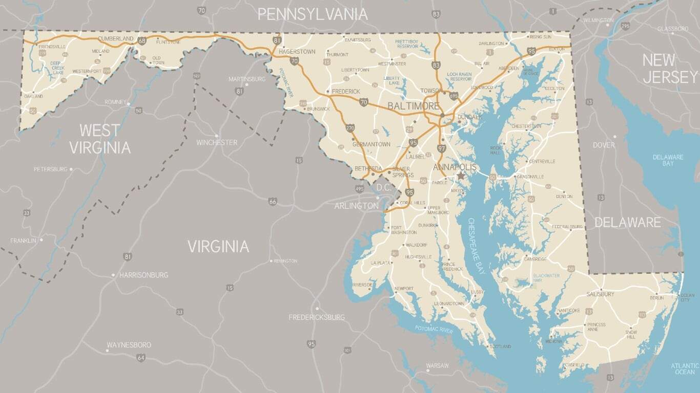
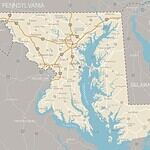
No offense intended to the good citizens of Maryland, but this state looks like a left-over scrap after everybody else took bites of it. And that's more than a little true. Virginia was founded earlier, to the south of the Potomac. Britain doled out a charter to start Pennsylvania to the north and later established the Mason Dixon Line as its southern border. By the time Delaware and Virginia got their pieces of the Delmarva Peninsula and the Pennsylvania and Virginia borders were extended west, Maryland was left with a peninsula only 1 mile wide at its narrowest point. The three westernmost Appalachian Maryland counties there today have recently begun agitating to join West Virginia, but the movement is fringe and not formally advanced.
Michigan
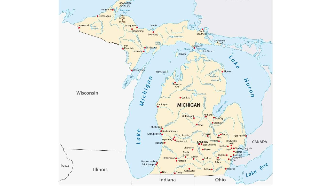
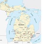
Michigan has a lower peninsula and an upper peninsula, separated by the Great Lakes, but attached by land to Wisconsin. Michigan and Ohio had a dispute over the city of Toledo. Michigan agreed to give up its claim in exchange for the resource-rich upper peninsula.
Oklahoma
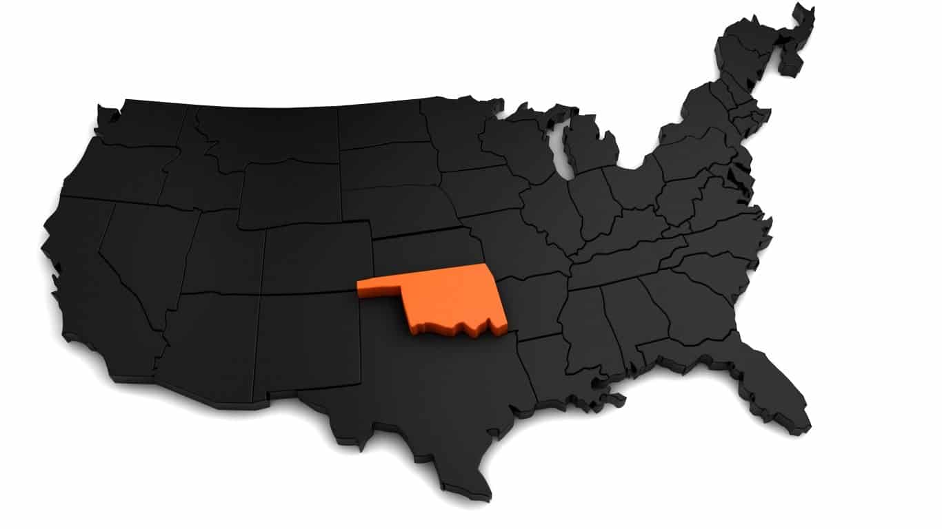
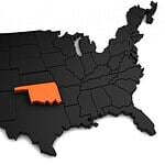
Oklahoma has a narrow panhandle to the West that was once part of Texas. The reason it was detached from Texas was that it was further north than the northernmost limit the federal government permitted for slave states like Texas.
Virginia
The Eastern Shore of Virginia is the southern tip of the Delmarva Peninsula on the east side of Chesapeake Bay. This came about because the British decided to extend the Virginia/Maryland border from the mouth of the Potomac River across the Peninsula. This gave the larger colony of Virginia control of both sides of the mouth of the Bay, a longer Atlantic Coastline, and control of the fishing in the southern half of the Bay.
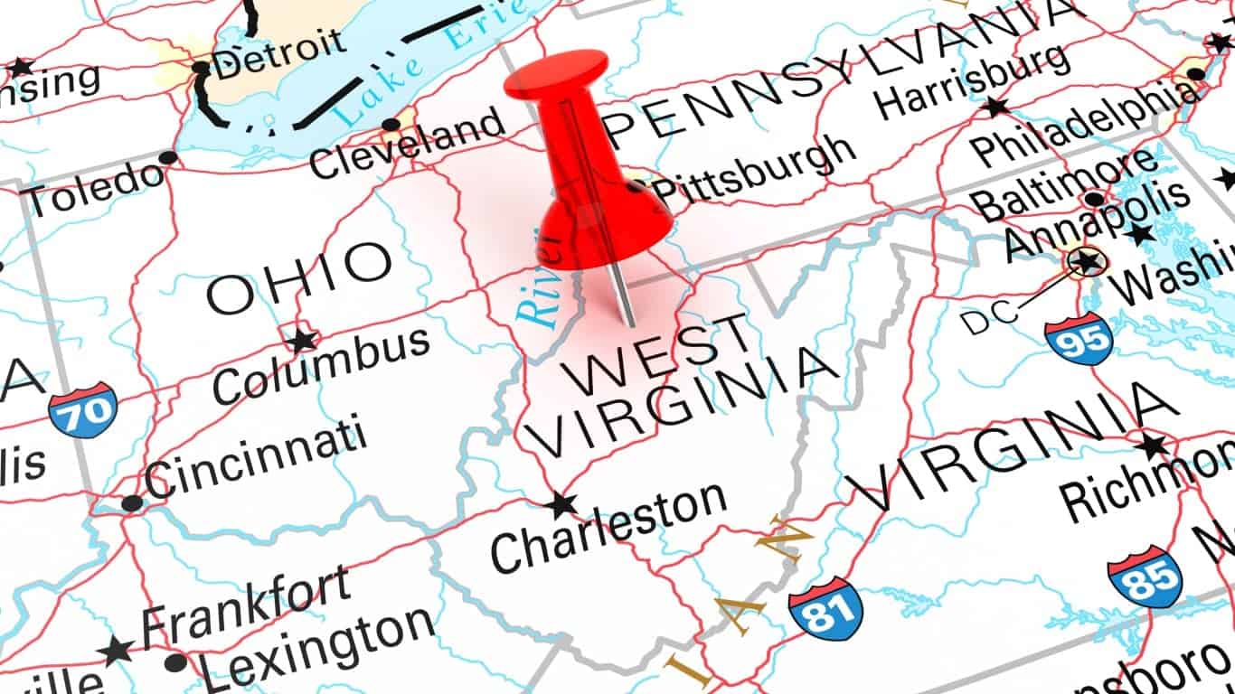
West Virginia
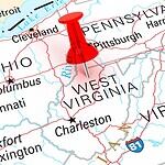
West Virginia has an unusual eastern panhandle because the state was formed from northwestern Virginia counties that opposed secession from the Union. While most residents were not abolitionists, they had closer economic and cultural ties to Pennsylvania and Ohio and little interest in fighting for slavery that benefitted Tidewater planters. The eastern panhandle counties of Berkeley and Jefferson joined later, under disputed referenda and Union military control, reflecting more political maneuvering than broad anti-slavery sentiment.
The image featured at the top of this post is © iStock / Getty Images